Drone Real Estate Photography
Show the Full Property with Professional Drone Photography
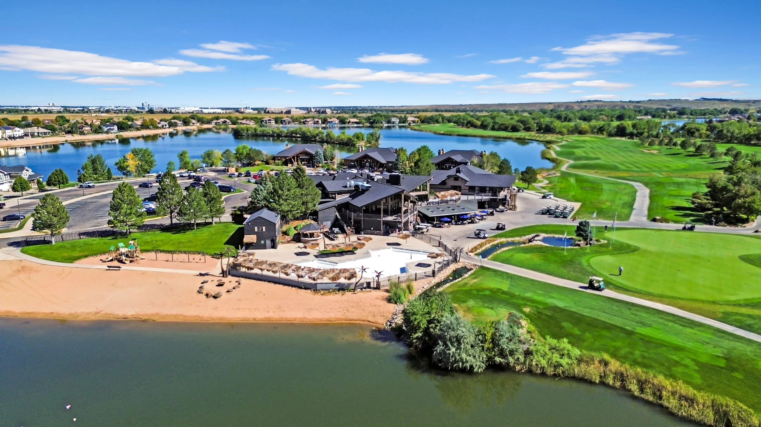
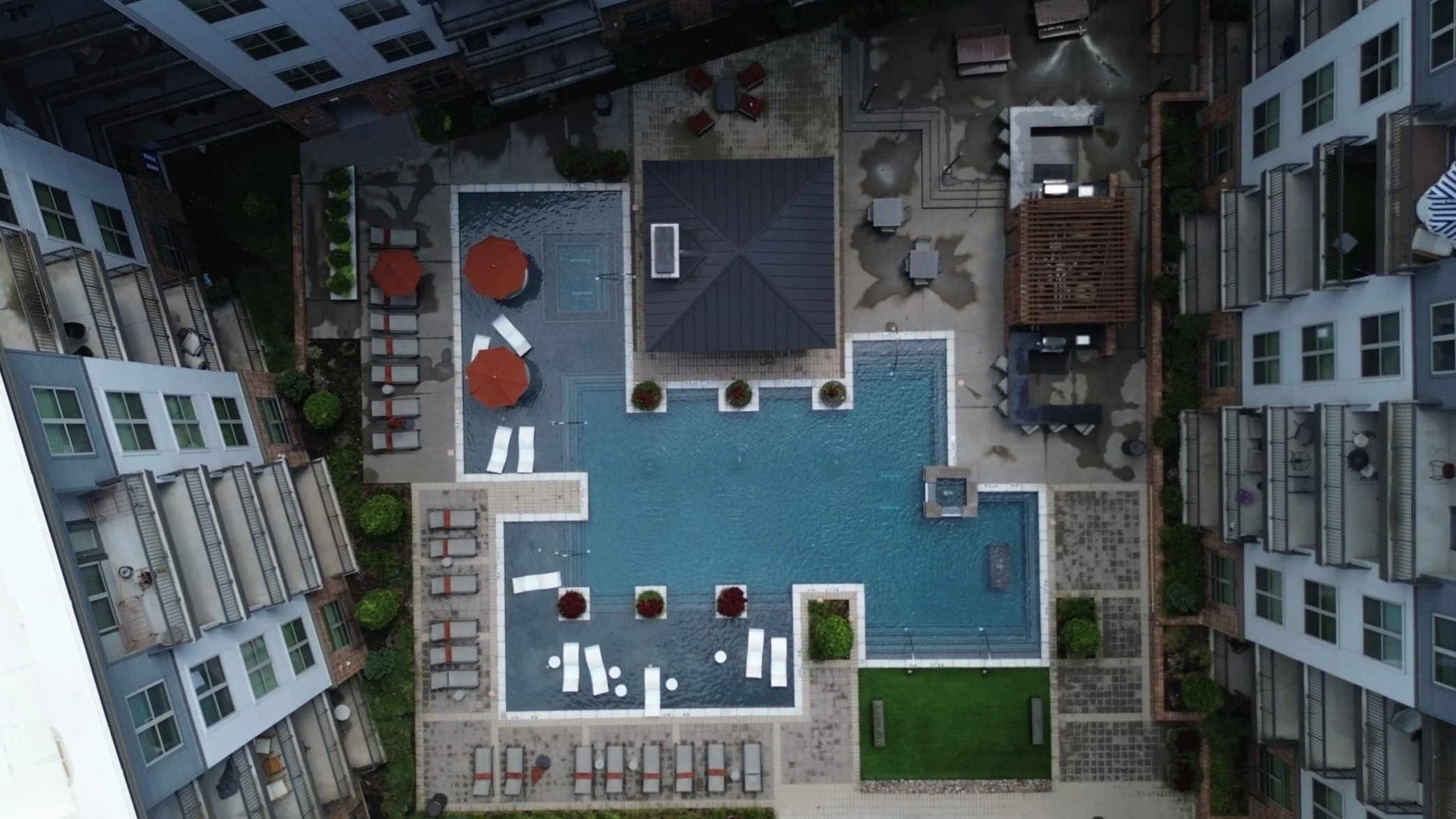
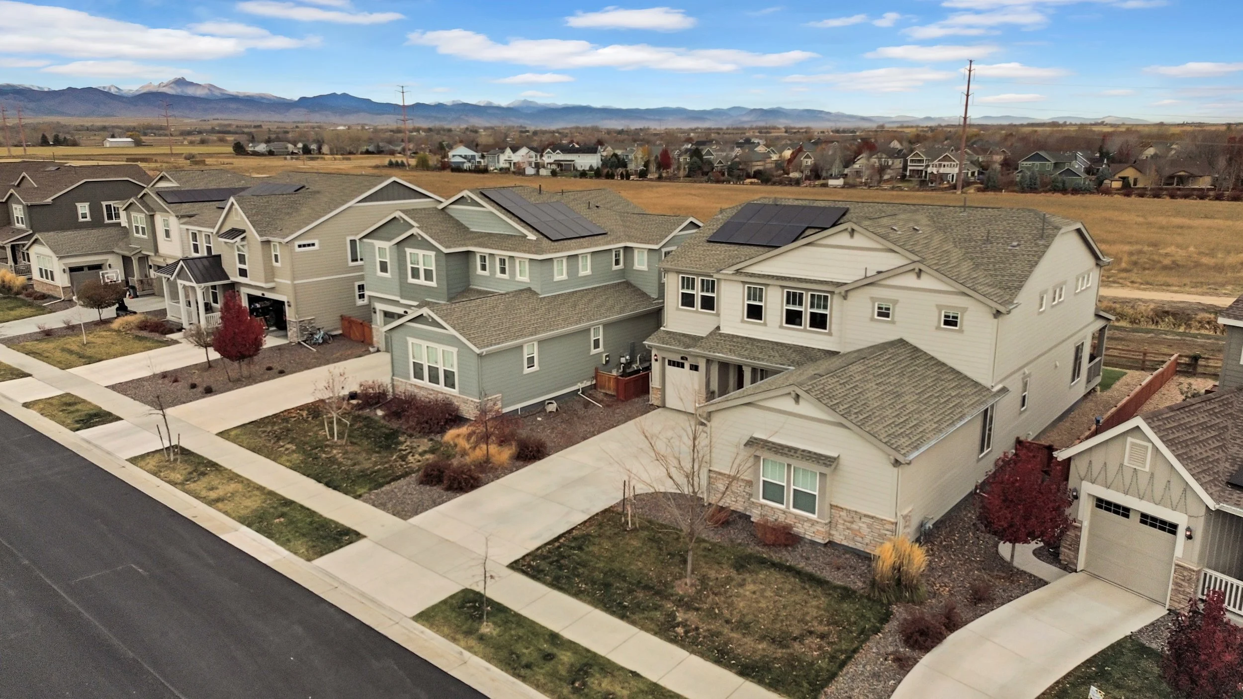
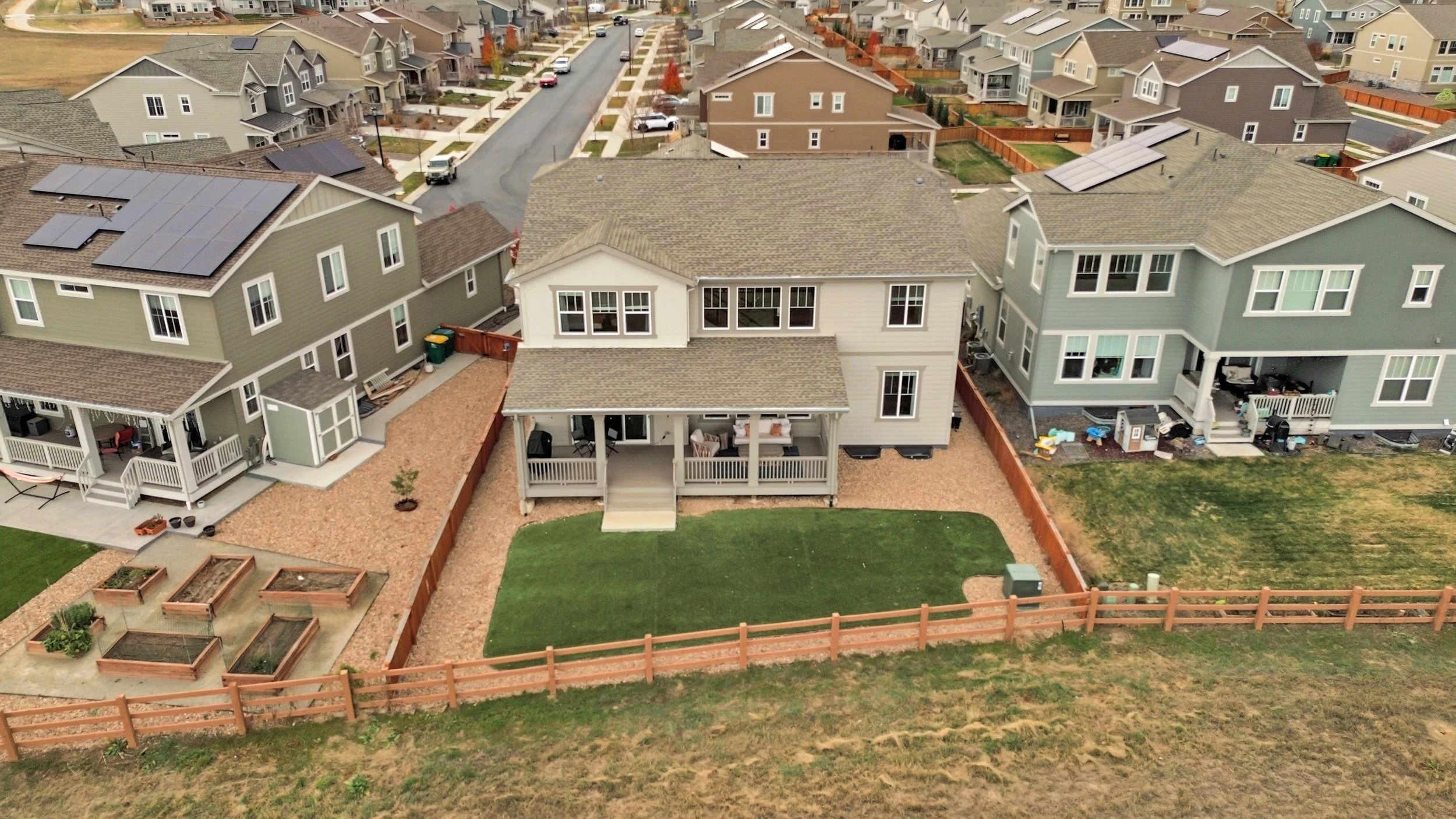
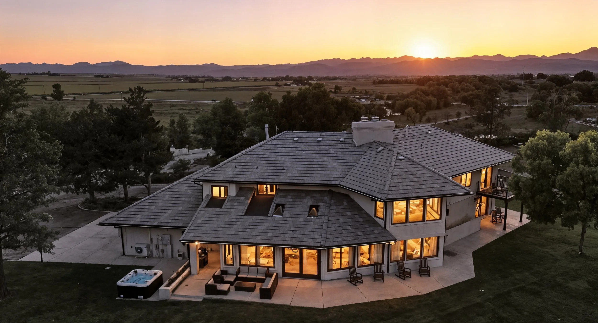
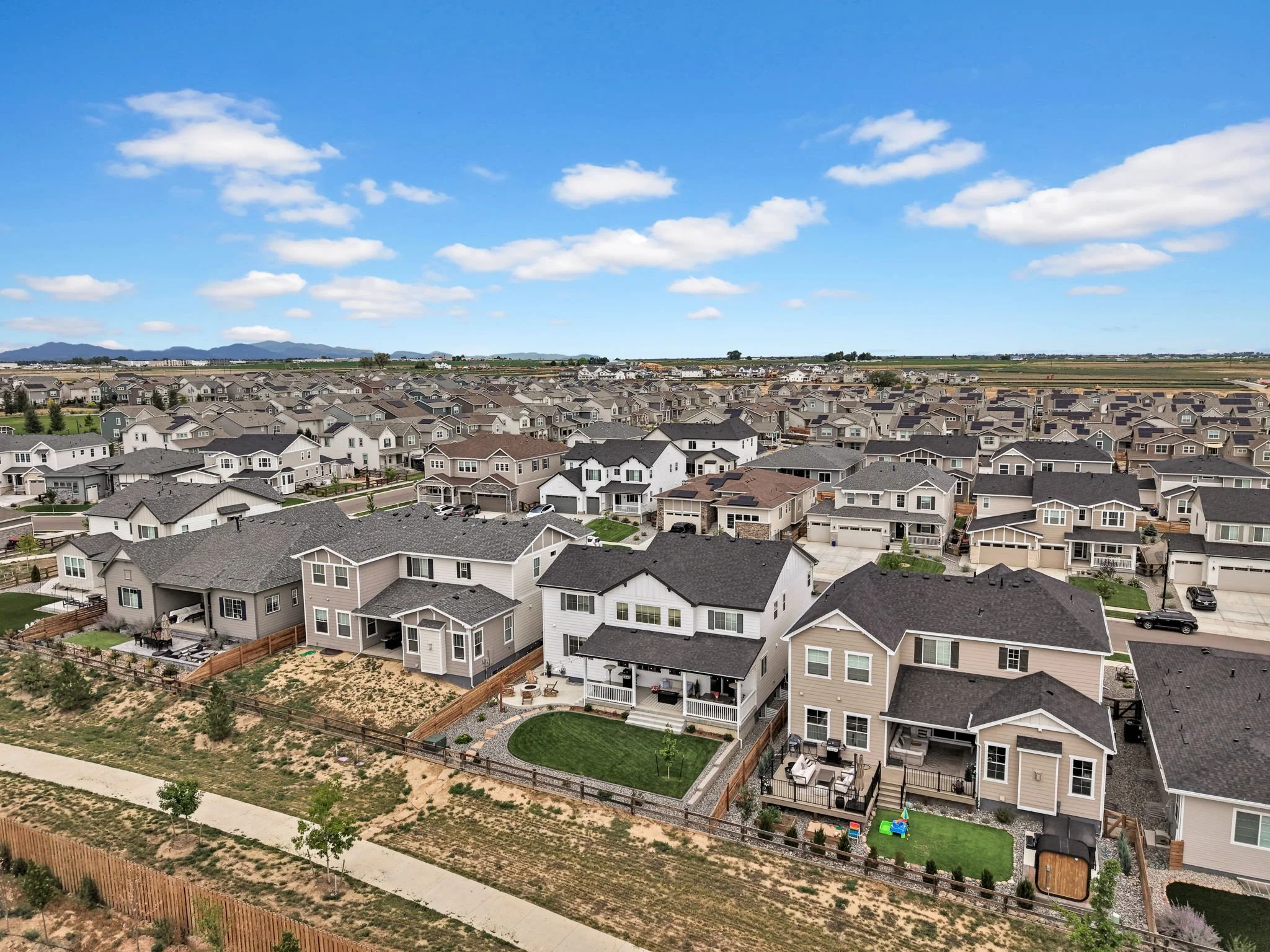
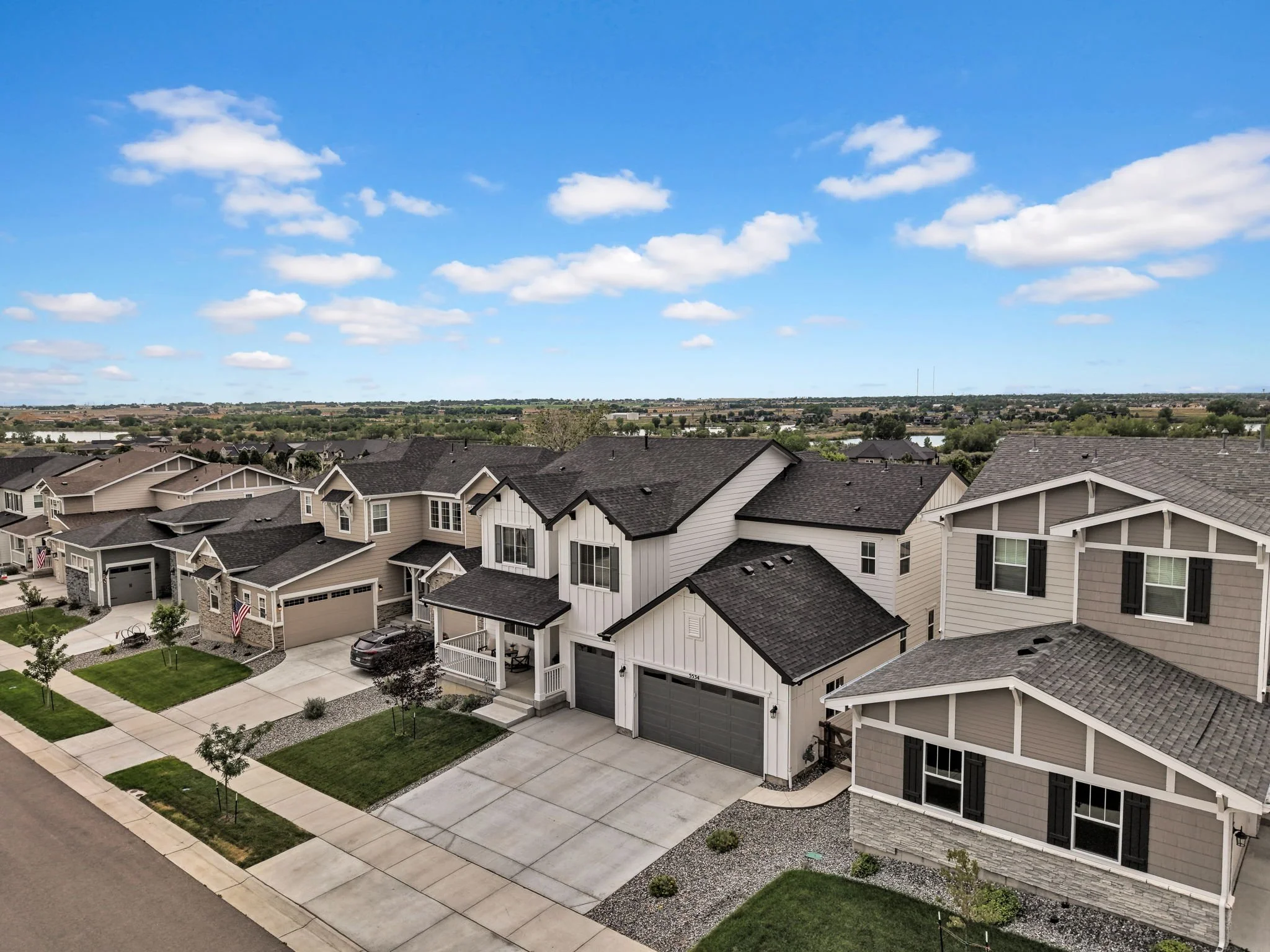
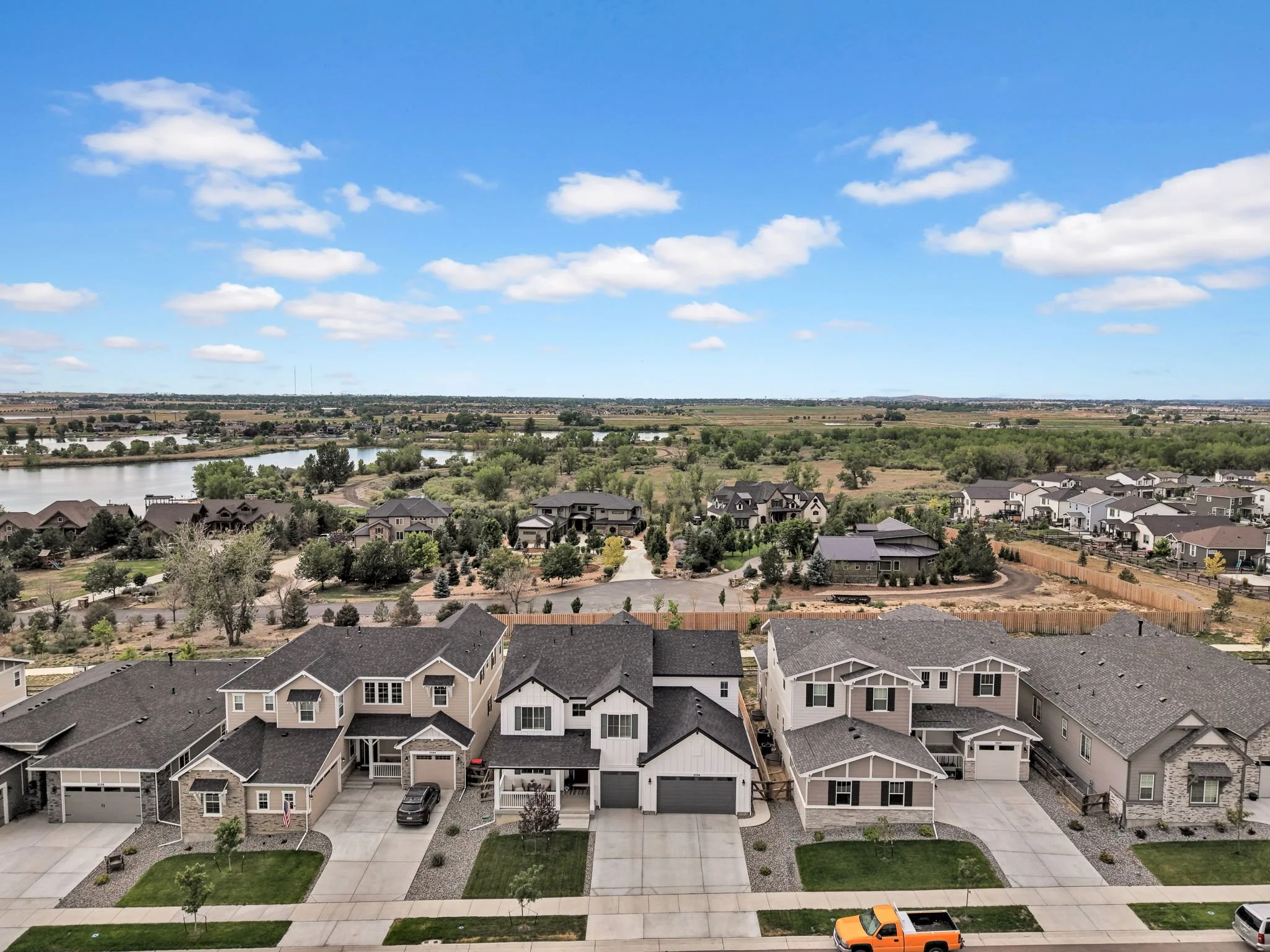
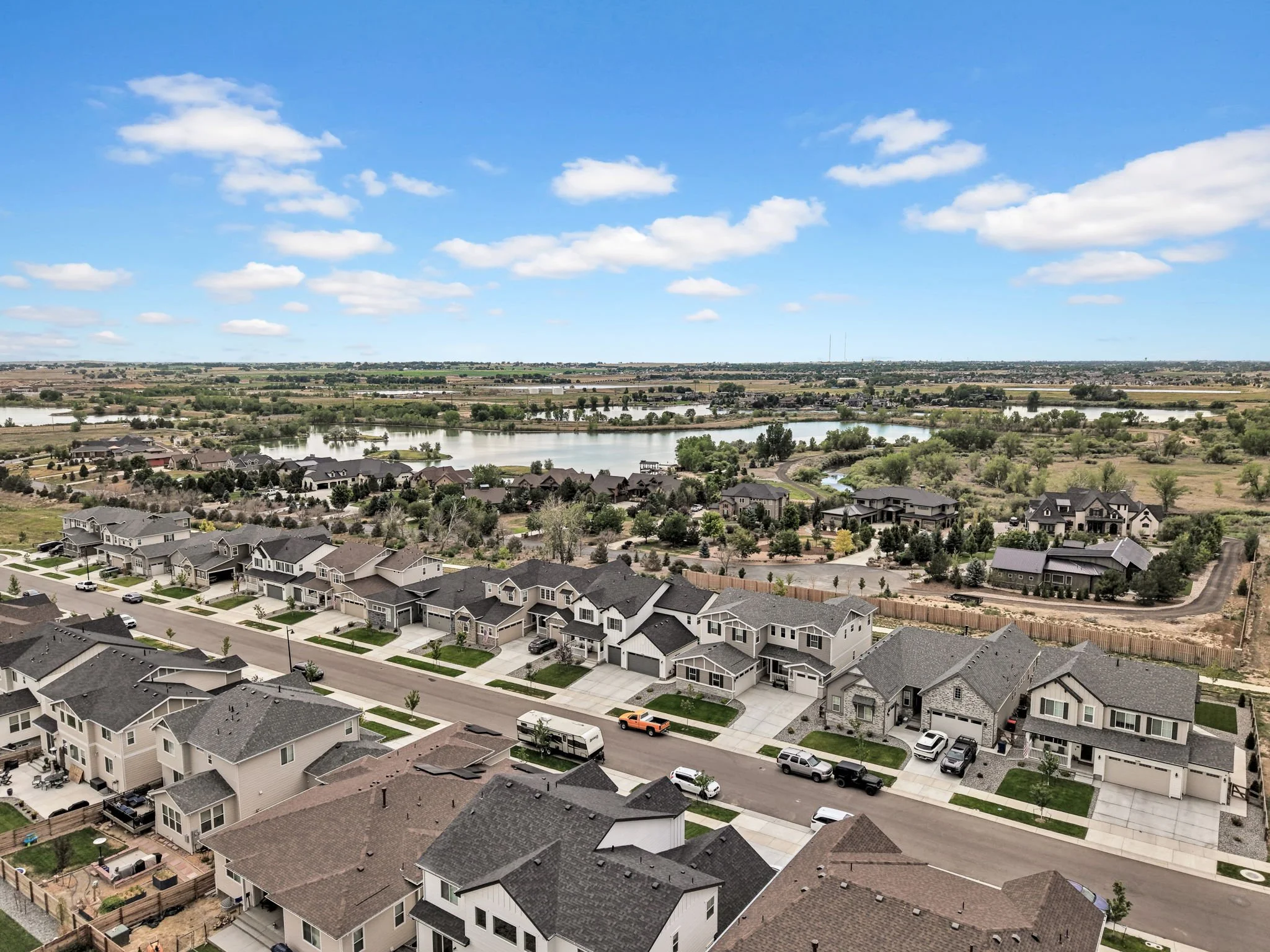
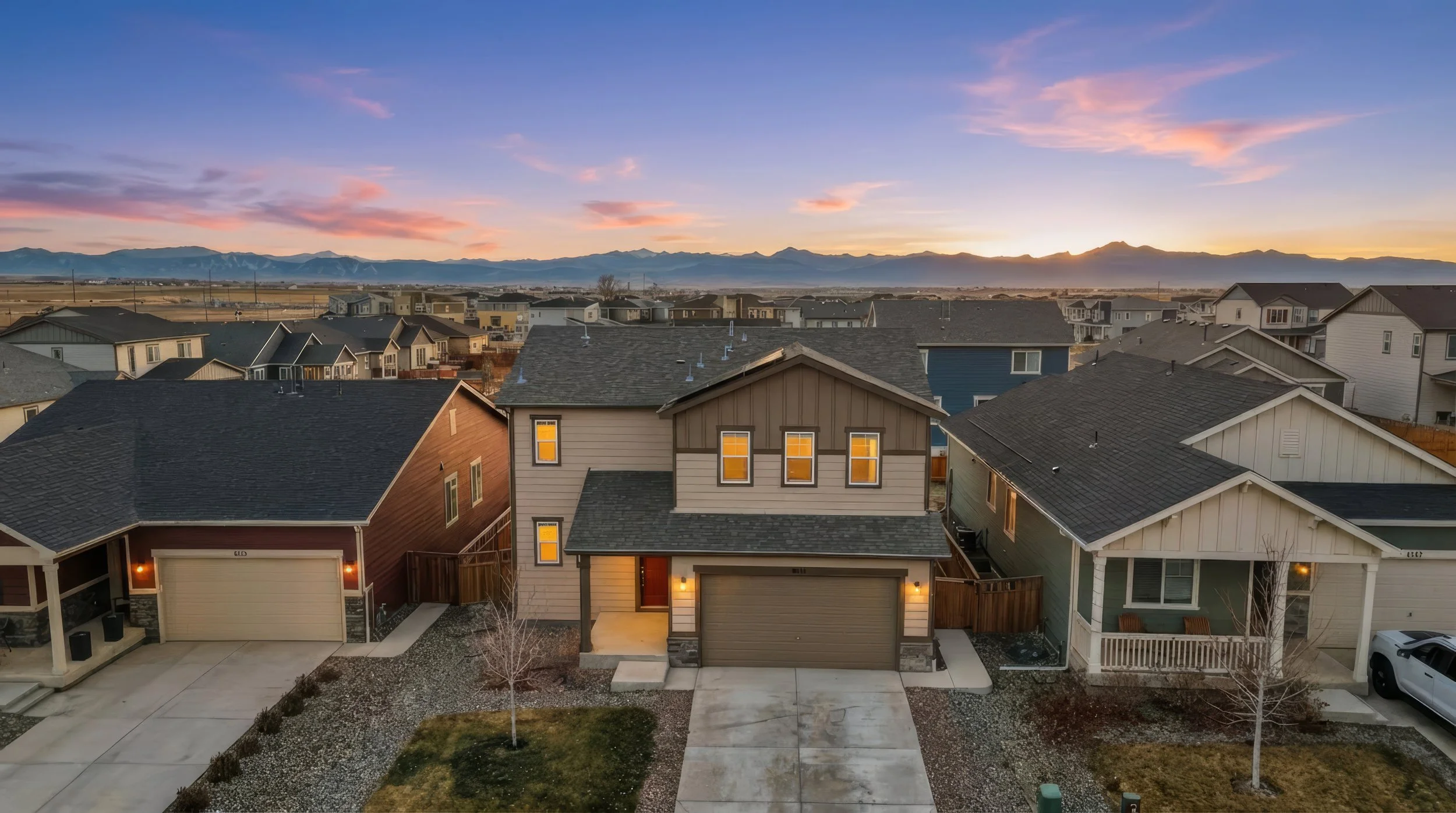
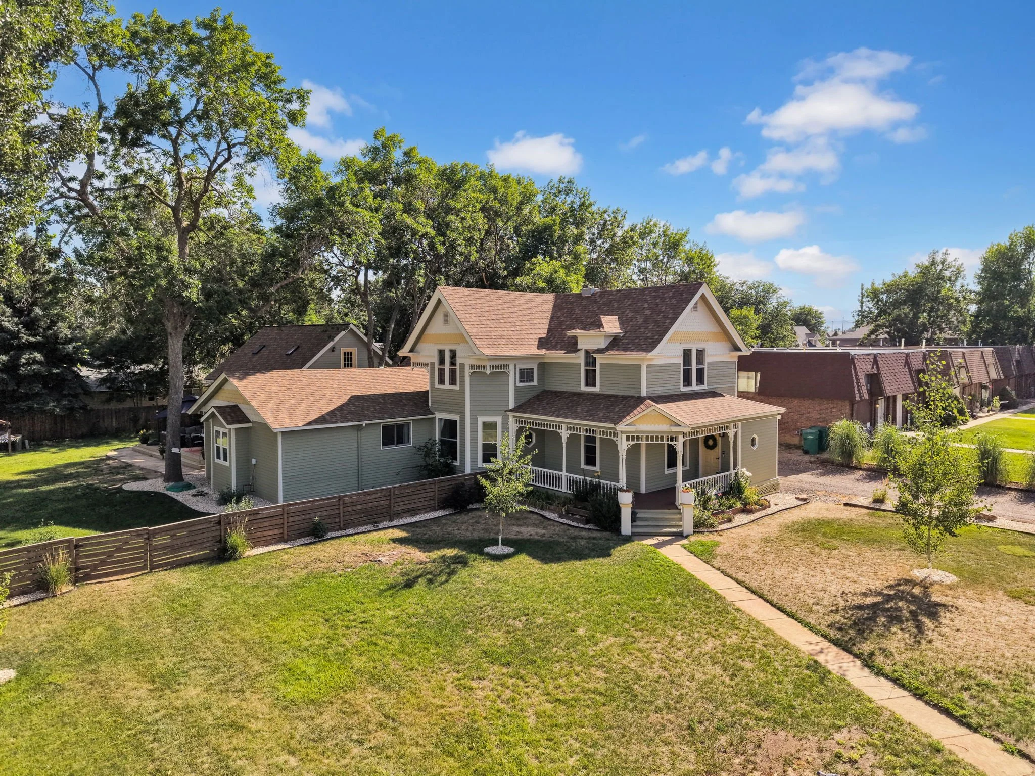
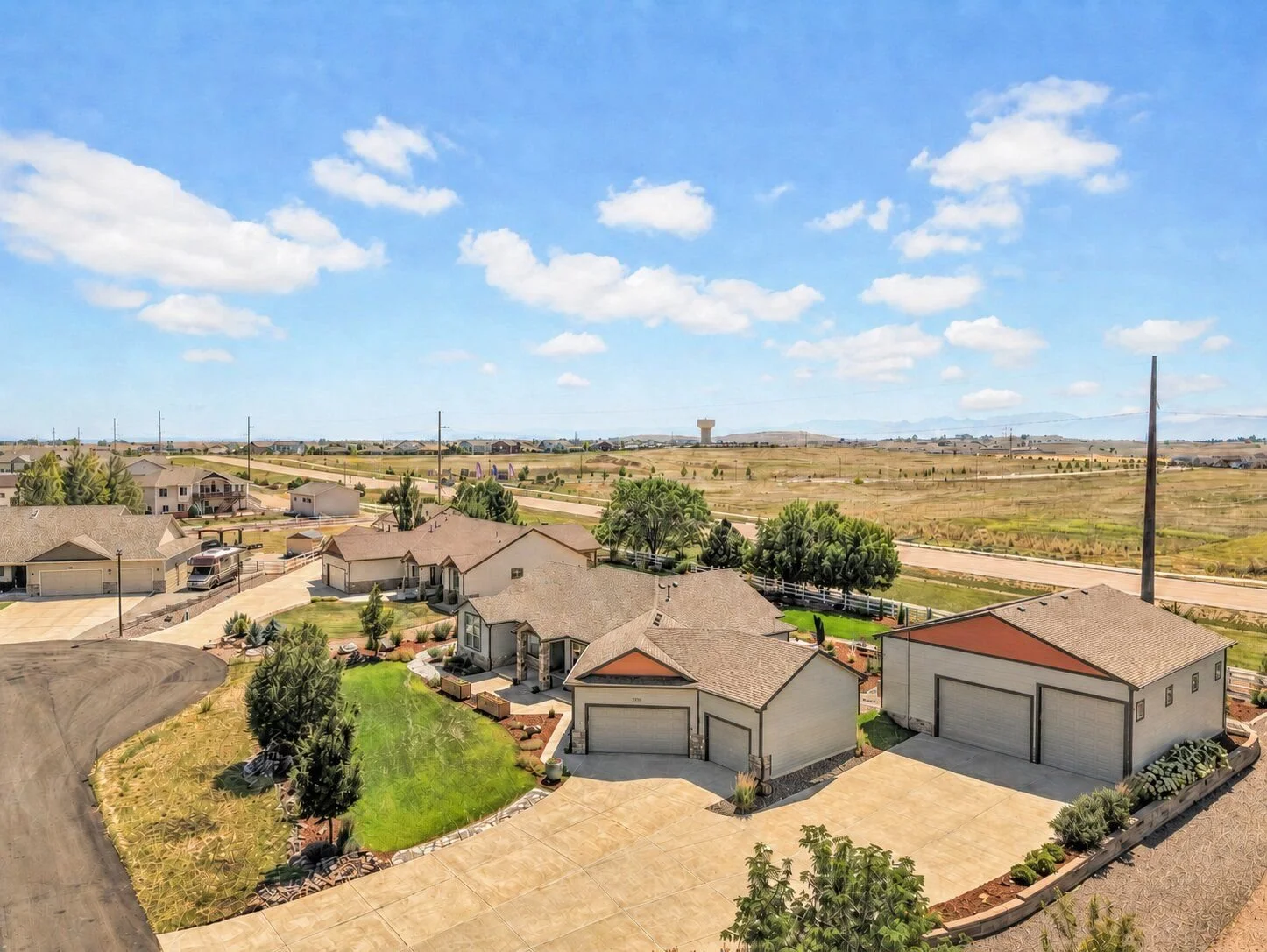
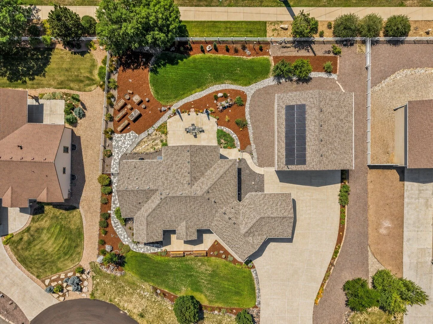
Professional drone photography gives buyers a wider perspective of a property by showing the home, lot, surrounding land, views, and nearby features from above. It is especially valuable for listings with acreage, large lots, mountain views, open space, unique architecture, or standout outdoor features.
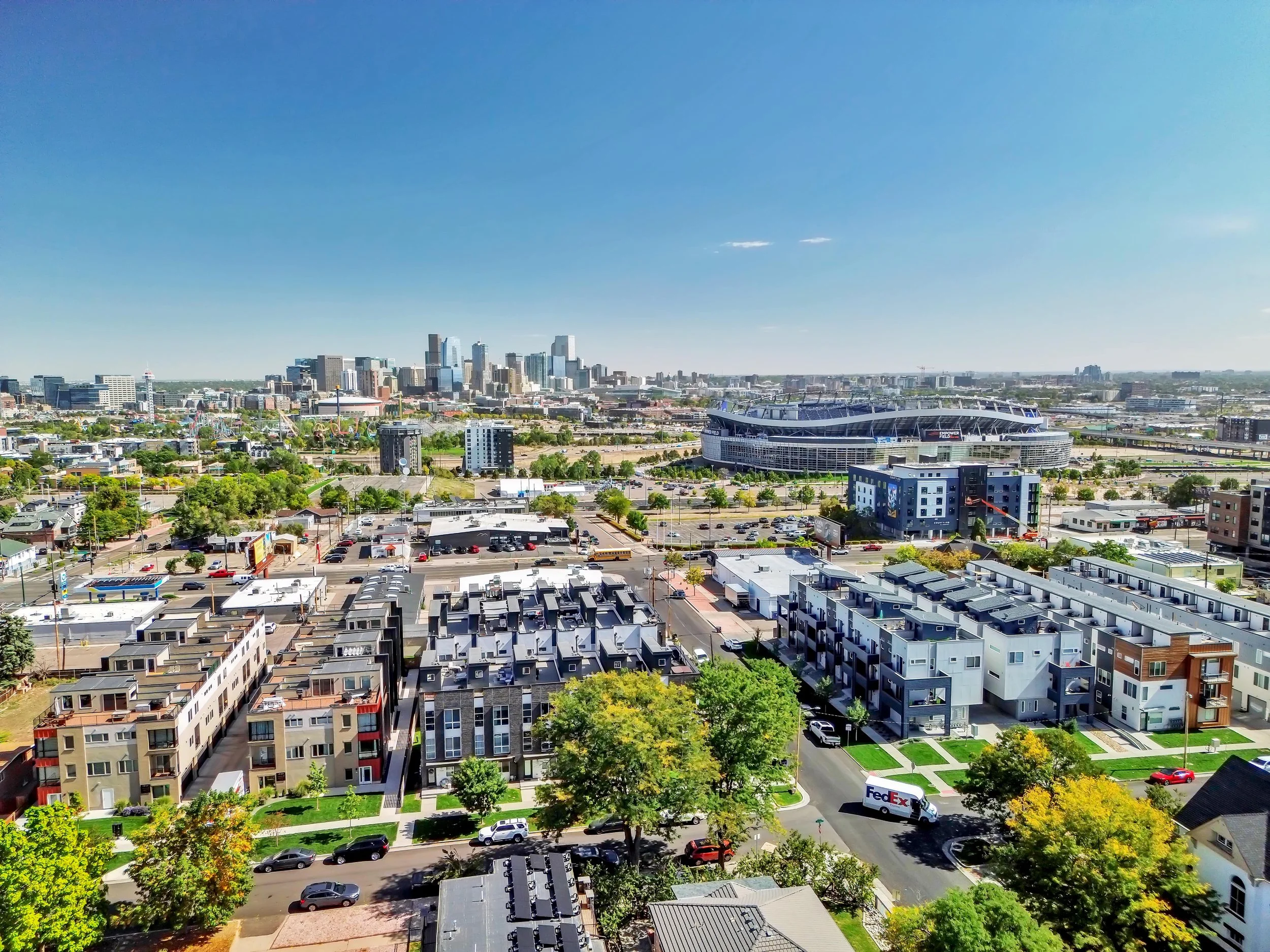
At Luxe Precision Media, our real estate drone photography is designed to complement traditional ground-level images and create a more complete visual presentation of the property. Aerial photos can help buyers better understand the home's location, lot size, driveway access, surrounding neighborhood, and relationship to nearby amenities.
Drone photography can be added to your real estate photography package and captured during the same scheduled appointment whenever weather, airspace, and flight conditions allow. Drone video can also be incorporated into cinematic walkthrough videos for an even more dynamic listing presentation.
Luxe Precision Media provides professional real estate drone photography throughout Fort Collins, Loveland, Windsor, Timnath, Wellington, Greeley, Berthoud, and surrounding Northern Colorado communities.




Drone Photography FAQs
Common questions about professional drone photography for real estate listings throughout Fort Collins and Northern Colorado.
Why should I use drone photography for a real estate listing?
Drone photography gives buyers a wider perspective of the property, including the home, lot, surrounding land, nearby amenities, views, and overall location. It can be especially useful for larger lots, acreage, luxury homes, rural properties, and homes with standout surroundings.
What does real estate drone photography include?
Real estate drone photography typically includes high-quality aerial images that showcase the property from multiple angles and elevations. Depending on the listing, we may also capture surrounding roads, land, views, nearby features, and the overall neighborhood context.
Can drone photography be added to my real estate photography package?
Yes. Drone photography can be added to your real estate media order and completed during the same scheduled property appointment whenever weather, airspace, and local flight conditions allow.
Is drone photography good for homes with acreage?
Yes. Drone photography is one of the best ways to show acreage, property boundaries, outbuildings, driveways, surrounding land, mountain views, open space, and other features that may be difficult to communicate with ground-level photography alone.
Can you photograph the neighborhood and nearby amenities?
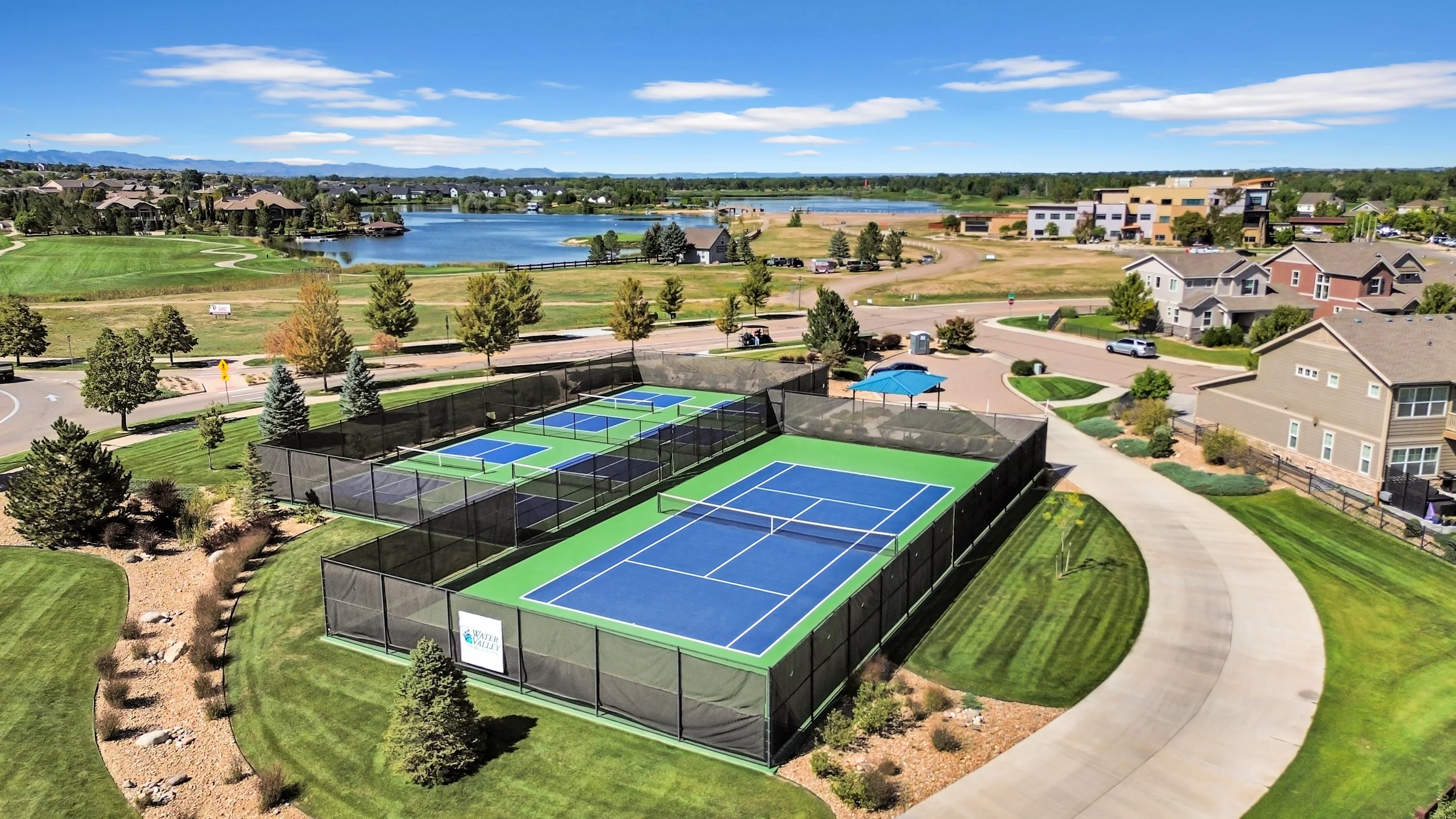
Yes. When appropriate and permitted, aerial photography can help show nearby parks, open space, trails, community amenities, major roads, water features, and other location-based selling points that add context to the listing.
Can you fly a drone at every property?
Not always. Drone flights depend on weather, airspace restrictions, temporary flight restrictions, property location, and other safety or regulatory considerations. If a flight cannot be completed safely or legally, we will avoid flying until conditions allow.
What happens if the weather is bad on the day of the photoshoot?
High winds, rain, snow, low visibility, or other unsafe conditions can prevent drone operations. If aerial photography cannot be completed safely, it may need to be rescheduled or completed at another time.
Do you offer drone video as well as drone photography?
Yes. Drone footage can be incorporated into real estate video walkthroughs and cinematic listing videos to showcase the property, neighborhood, surrounding scenery, and location from the air.
What areas do you provide real estate drone photography in?
Luxe Precision Media provides real estate drone photography throughout Fort Collins, Loveland, Windsor, Timnath, Wellington, Greeley, Berthoud, and surrounding Northern Colorado communities.